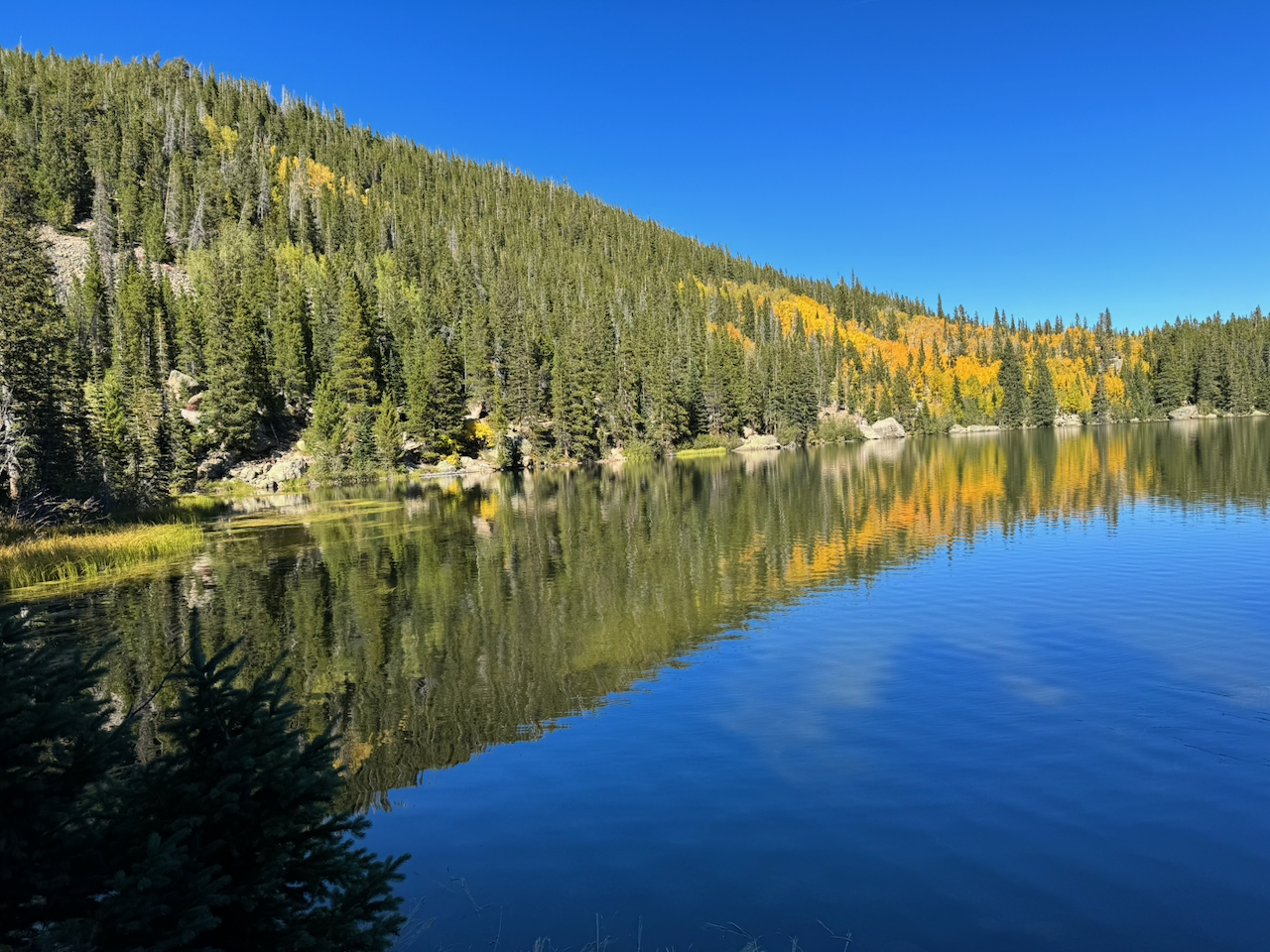
Photo: Colorado Mountain Club
Colorado Mountain Club App Empowers Trail Users to Help Steward Public Lands
Hikers and bikers provide real-time data to support land managers
The Colorado Mountain Club (CMC) has introduced a powerful tool that allows outdoor enthusiasts to support the stewardship of Colorado’s public lands—right from their phones. The free Recreation Impact Monitoring System (RIMS) mobile app enables hikers, bikers, campers and other recreationists to report trail and campsite conditions in real time, such as downed trees, full parking lots, or evidence of overuse. By crowdsourcing this data, the RIMS app empowers trail users to become active stewards of the state’s beloved natural spaces.
This innovative tool supports a key strategy from the CTO’s Statewide Destination Stewardship Strategic Plan: to preserve and enhance Colorado’s outdoor spaces by supporting recreation site assessment efforts.
Why the RIMS App Is a Valuable Tool
The RIMS project aligns closely with CMC’s mission to connect people to Colorado’s landscapes through community, education, stewardship and recreation. By equipping everyday users with the ability to document on-the-ground conditions, CMC is helping federal, state and local land managers—as well as conservation groups—make informed decisions about land management and resource allocation.
Because the app collects data in a centralized repository, land managers can access customized dashboards and interactive maps tailored to their region. This access enables them to track trends, identify high-use areas, and prioritize projects that address resource protection or visitor experience.
The importance of such data grows even more critical in times of limited staff capacity, when fewer rangers are available to monitor vast landscapes. In this context, RIMS empowers the public to contribute meaningfully to conservation efforts.
How the RIMS App Works
Using the app is easy. Public lands visitors simply download the “CMC RIMS” mobile app, watch a 20-minute training video and take a short quiz. Once they have passed the quiz and used the app to download maps of their location, visitors are prepared to send assessments from the trail. The app has offline functionality so that users can submit assessments while in the backcountry.
Visitors can provide useful information in these categories:
- Trail Assessments: Report safety hazards like washed-out bridges and note environmental concerns such as noxious weeds or evidence of livestock.
- Campsite Assessments: Prevent wildfire risks by flagging unauthorized fire rings and documenting tree damage or ground disturbance.
- Signs & Facilities Monitoring: Help maintain infrastructure by reporting broken signs or damaged facilities.
- Visitor Use Tracking: Support parking and visitor management with data on vehicle volume, user types and seasonal patterns.
- Violations & Conflict Areas: Document issues like off-trail use in sensitive areas—purely for data purposes, not enforcement.
Users can also log stewardship activities completed by themselves or their group, helping quantify volunteer efforts across the state.
How RIMS Data Helps Public Lands
A behind-the-scenes benefit of RIMS is that agencies and stewardship groups can use the collected data to track recreation trends and impacts over time, justify requests for grant funding, report volunteer hours and more.
Land managers throughout Colorado pay to access RIMS data through contracts with CMC, and CMC is continually working to expand the RIMS coverage area. Currently, RIMS is primarily being used in the Denver area and the Western Slope. However, all data submitted is saved for future use, and visitors are encouraged to get into the practice of sending assessments.
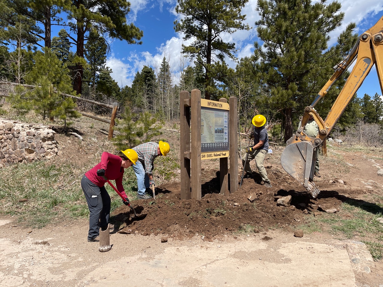
CMC is also developing partnerships between its stewardship crews and local “friends of” support organizations to create volunteer events, which close the loop by supplying the needed work that app users identify. For example, a volunteer trail group in Ouray partners with CMC to repair and maintain local trails.
“RIMS offers people a genuine way to make a difference, to offer land managers much-needed support and to help keep Colorado’s wild spaces enjoyable for everyone,” said Ashley Hanlon, chief communications officer at CMC. “We encourage all tourism partners to promote this valuable stewardship resource to visitors.”
Share Your Success Story
Do you have a project that is promoting destination stewardship in your community? Please share your story with the CTO.