")
Artistic Roaring Fork Valley Map Promotes Local Food and Farms
Collaboration unites farmers, chefs and tourism partners
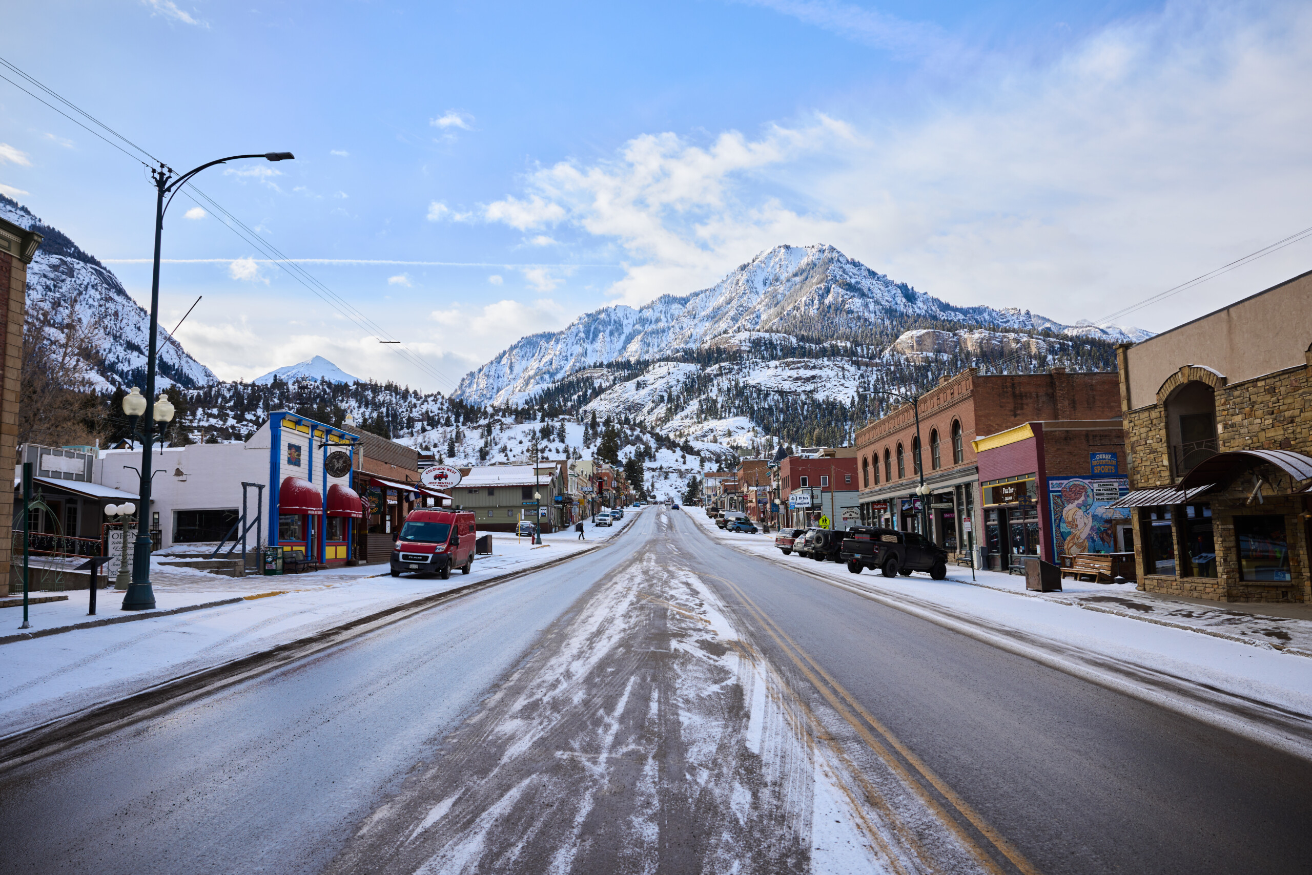
A creative collaboration is changing how visitors experience the Roaring Fork Valley, a picturesque region of Colorado’s western slope. The Roaring Fork + Farm Map highlights the valley’s rich agricultural heritage while showcasing local ranchers, chefs and sustainable food initiatives. This regional promotion encourages travelers to venture beyond the area’s renowned ski resorts and hot springs, embracing agritourism in a beautiful and thriving valley. The project also aligns with key strategies from the CTO’s Destination Stewardship Strategic Plan to support local agriculture and promote agritourism.
Regional Collaboration Creates a Valley-Wide Visitor Guide
As Aspen and other nearby destinations began promoting Carbondale as an alternative travel hotspot, the idea for a regional collaboration took shape. In spring 2022, the Colorado Tourism Office (CTO) awarded a Tourism Management grant to five Destination Marketing Organizations (DMOs) across the Roaring Fork Valley: Aspen Chamber Resort Association (ACRA), Snowmass Tourism, Basalt Chamber of Commerce, Carbondale Tourism and Visit Glenwood Springs. Their mission was to create a visitor guide to spotlight agritourism experiences, improve visitor information, disperse travelers and support local businesses.
The project kicked off by engaging local stakeholders and mapping the valley’s food and farm assets. These assets were categorized by visitor experience: farms open to tours, farms offering community-supported agriculture (CSA) shares, and farms integral to the valley’s agricultural story but not directly accessible to the public.
To further refine the initiative, the group hosted an agritourism workshop in collaboration with the Colorado Agritourism Association. The workshop invited farmers, chefs, food producers and restaurateurs to explore the economic benefits of tourism and learn how to create immersive visitor experiences. This gathering sparked new relationships and collaborations among local stakeholders who typically didn’t interact, generating fresh ideas for mutual support.
The collaborative spirit of the project extended to the design of the map itself. Representatives from the Colorado Welcome Centers contributed their expertise, offering valuable feedback on how to make the map user-friendly. During the 2022 Colorado Governor’s Tourism Conference in Snowmass, these representatives participated in a familiarization tour to learn about visitor experiences around local foods. Following this tour, the representatives were surveyed to provide input into key features of the map as a visitor information tool.
An Artistic, Informative Guide to the Valley’s Food, Farms and Attractions
The Roaring Fork + Farm Map, released in spring 2023, features an artistic rendition of the Roaring Fork watershed by local artist Sarah Uhl. The cover highlights Glenwood Canyon, a well-known landmark, inviting visitors to explore the area’s other hidden gems. The map’s warm shades of yellow and green depict the valley’s winding rivers, mountains, aspen trees and agricultural landscapes, with illustrations of a barn, cows, and even a rooster perched on a weathervane.
The map covers key destinations—Glenwood Springs, Carbondale, Basalt, Woody Creek, Snowmass, Aspen and Redstone—marking local farms, ranches and nearby attractions. The inside pages feature vibrant, farm-themed illustrations, as well as a list of each town’s food champions, local spirits and brews, museums, farmers’ markets and events. Additionally, blocks of narrative provide rich context on the valley’s agricultural history and heritage.
The printed guides are available at Colorado Welcome Centers and local visitor centers, while canvas prints of the map sold at farmers’ markets have become a popular souvenir.
Connecting Stakeholders and Meeting Community Needs
Sarah-Jane Johnson, the project coordinator and sustainable tourism consultant for Carbondale Tourism, emphasized a key takeaway from this collaborative effort: the importance of meeting stakeholders where they are. “It’s crucial to engage with ranchers and farmers during their off-season or at times that are convenient for them,” Johnson explained. Given that farmers are busiest during the summer and fall harvest periods, timing workshops and meetings during less hectic times is essential for meaningful participation. Johnson also highlighted the ongoing challenge of sustaining engagement with a diverse group of stakeholders but noted that the opportunity for cross-collaboration is worth the effort.
Today, the Roaring Fork + Farm Map serves as a unique way for visitors to connect with the valley’s local culture, food and people. By showcasing the region’s agricultural bounty and rich heritage, the map encourages sustainable tourism while fostering deeper connections between locals and travelers.
Share Your Success Story
Do you have a Colorado destination stewardship success story to share? We’d love to hear about your impactful work. Please reach out to the CTO and let us know how you are protecting our natural wonders, communities and cultural heritage for generations to come.